Holocaust Memorial Project Maps

This semester, our class created a website for the Oregon Holocaust Memorial. This project, in conjunction with the Oregon Jewish Museum, was designed for use by teachers wanting to take their students on field trips to the memorial. Other visitors could also use the website to gain further background knowledge of the Holocaust and some of the survivors memorialized. For my contribution, I created maps to illustrate the location and death information of concentration and extermination camps in Europe, and the expansion of Nazi Germany throughout World War II.

I used ArcGIS Story Maps to create this map of concentration camps throughout Europe. I used data provided by the Oregon Jewish Museum to input location and death data for each camp, and found photos from each camp online. The embedded version does not look as nice as the original; click here for a direct link.

The map of German expansion during WWII was created with Knight Lab’s Juxtapose program. I found blank maps of Europe online and color coded the countries to represent German states and allies, as well as Ally associated states and countries.

These maps were intended to provide visuals that give a sense of place and scale of the locations and events of the Holocaust

Close Reading: WWII Propaganda

This historical thinking lesson focuses on close reading of propaganda from WWII. The lesson is adapted from the American Social History Project, and all images come from their HERB database.  PBS has a useful list of propaganda techniques to accompany the lesson.

Essential Question:

What are the common themes and major differences between WWII propaganda from the United States, Great Britain, Germany and the Soviet Union?

Warm Up Reading:

Propaganda Techniques

Plan:

Students will work in pairs or small groups using these graphic organizers to help guide their close reading and analysis of propaganda posters. Students can be assigned specific countries or specific posters to read and analyze. The lesson uses the jigsaw model, with students sharing their findings with the class. Students will identify common themes and compare and contrast posters from different countries.

Lesson Presentation:

Essay Assignment:

Students will choose one of the following options:

  • Compare and contrast two or more posters
  • Visual essay: pull together different images to tell a story; text should bridge the posters together
  • Historical writing: Historically contextualize the poster: Is there a particular event or person the poster refers to? What makes this a World War II poster? (Requires additional research)
  • Point of view writing: Pretend you are a person in the poster; what story do you want to convey?
  • Fiction writing: Make up a narrative describing the events leading up to or following the scene depicted in the poster
  • Responsive essay: elaborate on the emotions (anger, sadness, pride, etc.) that the poster(s) evoke

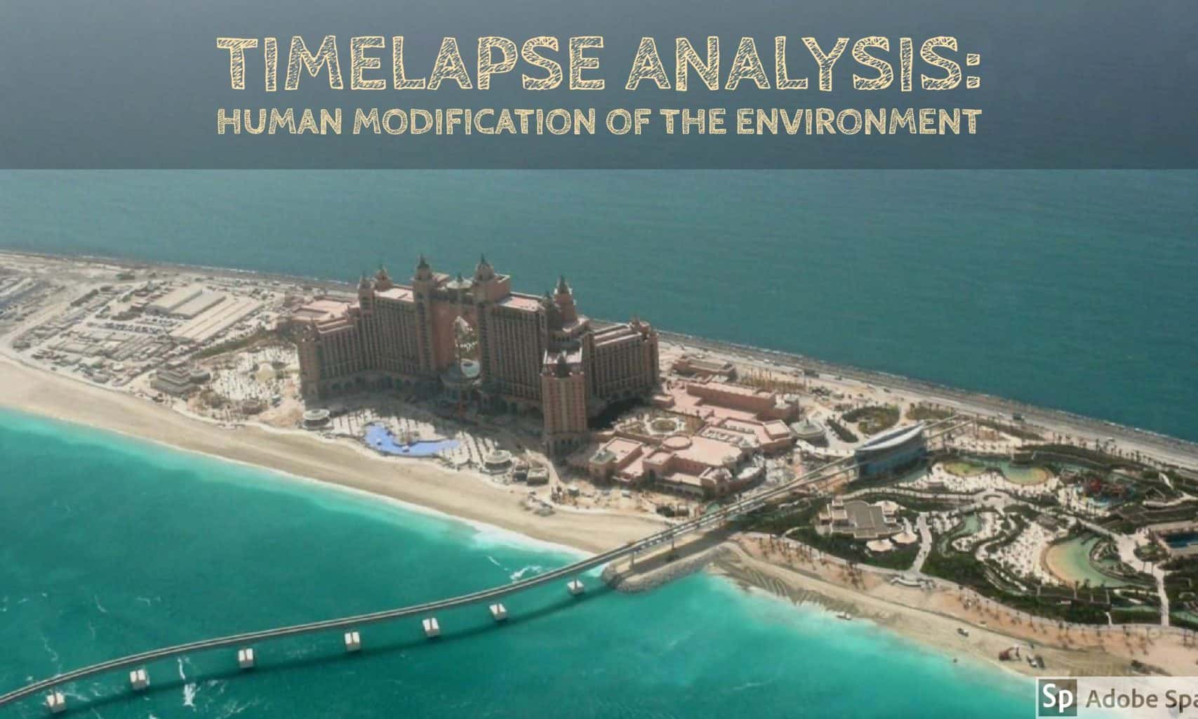
Featured Image: Adobe Spark

Environmental Modification with Timelapse

This lesson is designed to be part of a unit on human modification of the environment. In this lesson, students will use Google Earth Timelapse to observe land building in Dubai and Singapore.

Guiding questions:

  • What are some reasons governments and urban planners might have for building new land?
  • What is the underlying motivation for land building in Dubai and Singapore?
  • What are the similarities and differences between Dubai’s and Singapore’s reasons for land building?

First, students will observe the two Google Earth Timelapse images below.  Students will use their observations to form hypotheses about the reasons for land building in Dubai and Singapore.

Timelapse Dubai:

Timelapse Singapore:

[embedit snippet=”singapore-timelapse”] 

Students will share their hypotheses with the class, then split into reading groups. Each group will be given one of three sources on island building in Dubai.

Island building in Dubai:

CNN news article

The National (UAE) news article

Travel and Leisure article

Each reading group will share a summary of their article with the class, being sure to note the source.

Students will split back in to reading groups to read one of three sources on land reclamation in Singapore.

Land reclamation in Singapore:

Singapore National Library article

Eco-business article

New York Times article

Each reading group will share a summary of their article with the class, being sure to note the source.

Students will discuss their analysis of the texts, using the guiding questions to revisit their hypotheses. Students will discuss what hypotheses were validated by the readings and come up with collective answers to the guiding questions.

Featured image credit: By Imre Solt , via Wikimedia Commons and Adobe Spark

Screencast for 6th grade Social Studies

I made this screencast to use in my 6th grade class. The students will have to work on a group project in which they make a slideshow about a characteristic of civilization. They will have to illustrate how their characteristic was represented in ancient Mesopotamia, how it is represented today, and their assessment of that characteristic. I wanted to give them an example of what a good slideshow would look like, and figured I’d add a video with an explanation. Hopefully they will find the screencast useful!