Places are locations having distinctive features that give them meaning and character that differs from other locations. Therefore, places are human creations, and people’s lives are grounded in particular places. We come from a place, we live in a place, and we preserve and exhibit fierce pride over places.”
National Geography Standard 4: Place
Overview
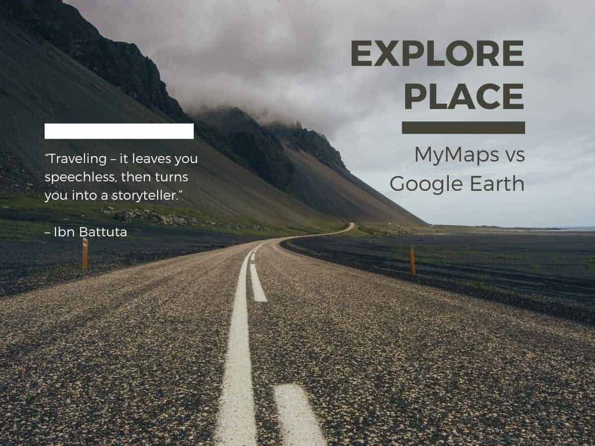
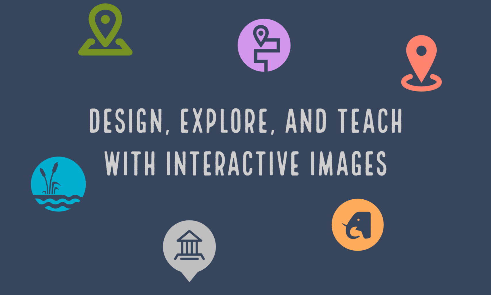
In today’s class we will introduce two mapping tools: Google Earth and Google MyMaps. They are easy platforms for teachers and students to create and share interactive maps that can contain additional multi-media content.
Class will also feature lessons taught by: Madi Higgins- Washington, Bruce MacDonald – Political Positions and Lucy Rothwell
Assignment: There is no assignment from this class.
Today’s class will explore interactive images with Google MyMaps and Google Earth. Both apps provide tools for teachers and students to create and share interactive maps that tell a story of place.
Google MyMaps is a great tool for visualizing place with a variety of content and locational tools. You can easily add photos, video, text, routes and shapes. You can collaborate and share your maps via email. It can be easily embedded in WordPress. MyMaps gets saved in your Google Drive account for easy cataloging.
Google Earth is now a web-based tool that can easily create engaging stories maps that tell a story. With creation tools, you can draw on the map, add your photos and videos, customize your view, and share and collaborate with others. You cannot embed in WordPress. Use a screenshot of you map as a hyperlink from your WordPress post to your map project.
“Places are locations having distinctive features that give them meaning and character that differs from other locations. Therefore, places are human creations, and people’s lives are grounded in particular places. We come from a place, we live in a place, and we preserve and exhibit fierce pride over places.”
National Geography Standard 4: Place
Overview
In today’s class we will explore three mapping tools: Google Tour Creator, StoryMapJS and Google MyMaps . They are easy platforms for teachers and students to create and share interactive maps that can contain additional multi-media content.
Peter will offer a brief intro into each app and students will take an initial look at how to use each app. Students will work in teams to master the app and develop a presentation to share back with the class. We will then generate some ideas for how each app could be used in the classroom.
Assignment: There is no assignment from this class.
Google Tour Creator (a Google project) uses Google’s vast StreetView library as well as additional surround images to to build immersive, 360° tours right from your computer. It can be easily embedded in WordPress or shared via email and social media. Demo tour.
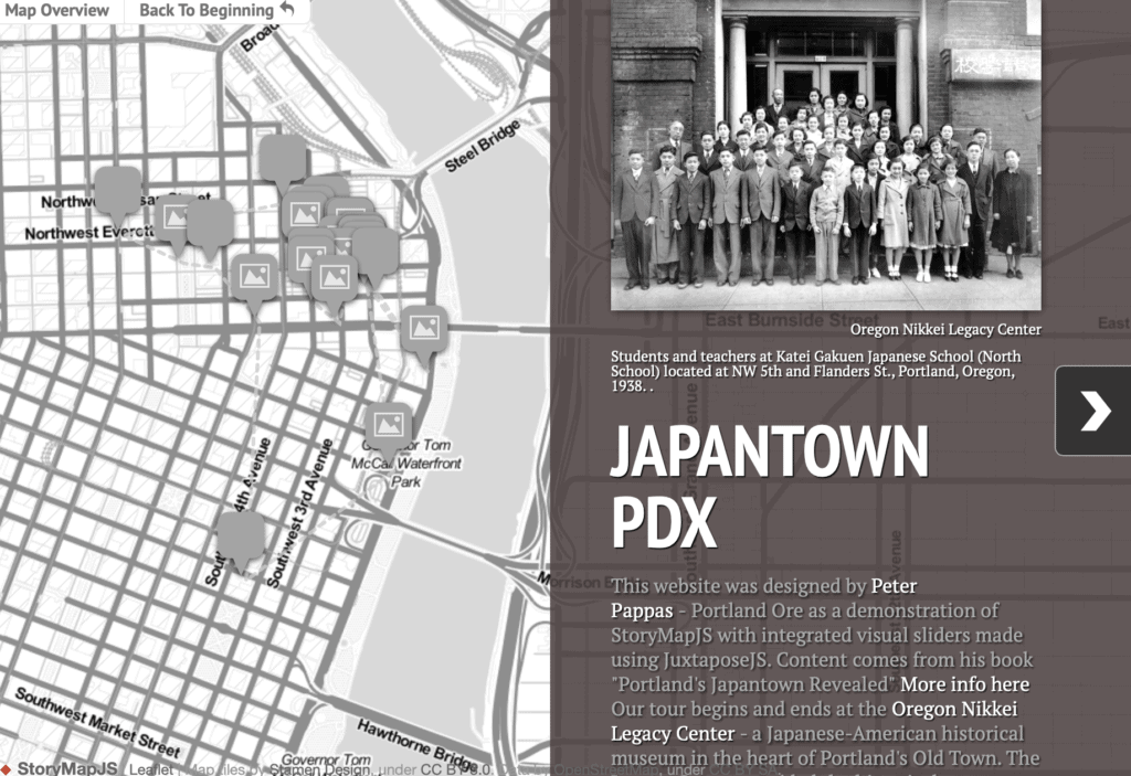
StoryMapJS from Knight Labs is a free tool to help you tell stories on the web that highlight the locations of a series of events. StoryMap JS can pull in media from a variety of sources. Twitter, Flickr, YouTube, Vimeo, Vine, Dailymotion, Google Maps, Wikipedia, SoundCloud, Document Cloud and more!
Keep it short. I recommend not having more than 20 slides for a reader to click through. Pick stories that have a strong location narrative. It does not work well for stories that need to jump around in the map.
Note: it is possible to get an embed code from StoryMapJS. But it does not display well as an embed. Better to get a screenshot and turn it into a hyperlink so viewers can directly view your StoryMap
Google MyMaps is a great tool for visualizing place with a variety of content and locational tools. You can add a variety of content to a MyMap. It can be easily embedded in WordPress or shared via email. MyMaps gets saved in your Google Drive account for easy cataloging. Map below by Jessica Webber.
Resources
Ideas for using Tour Creator and a “how to” below
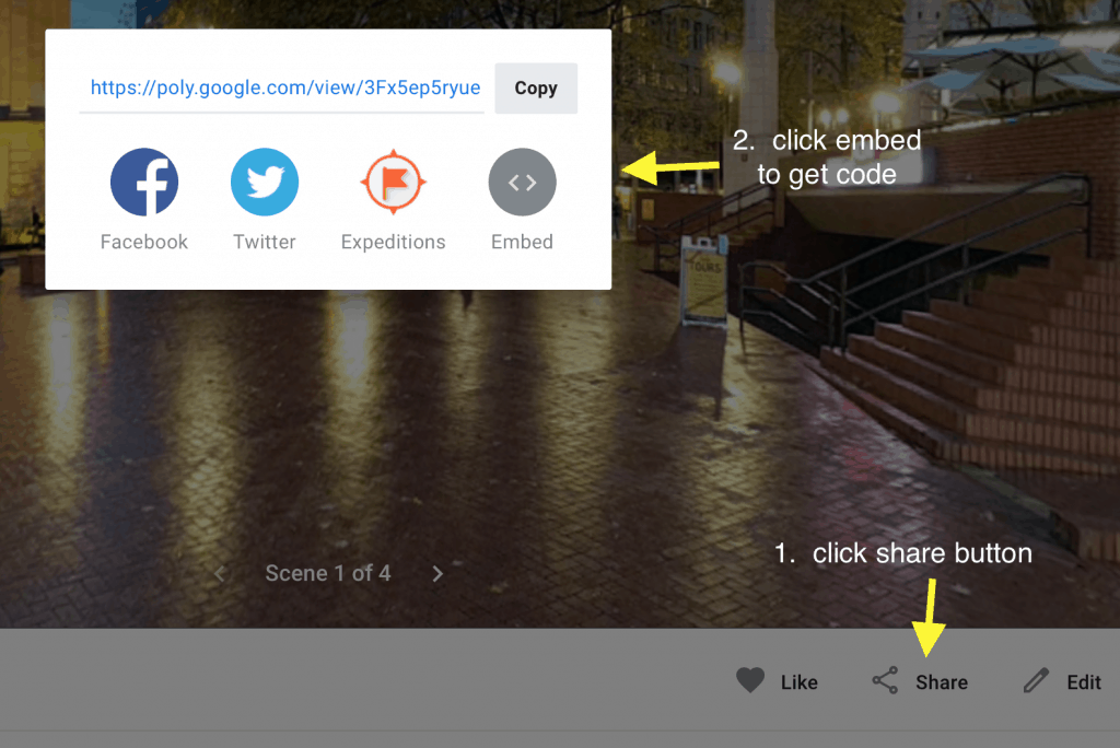
How to get Tour Creator embed code – Once you have published your tour. Click on “View Tour” then follow two steps below to get embed code
Once you have published your tour. Click on “View Tour” then follow two steps above to get embed code
In today’s class we will explore interactive images with Google Tour Creator and Google MyMaps. All apps provide tools for teachers and students to create and share interactive images that can contain additional multi-media content.
Google Tour Creator (a Google project) uses Google’s vast StreetView library as well as additional surround images to to build immersive, 360° tours right from your computer.
Google MyMaps is a great tool for visualizing place or creating tours. It works well with other Google tools and can be easily embedded in WordPress or shared via email. When you open a MyMap on your smartphone you can used it as a navigational tool. MyMaps gets saved in your Google Drive account for easy cataloging.
Peter will offer a brief intro into each app and next students will be assigned to one of three teams. Each team will try out the app and test its features. Then each team will share their impressions of the app with the class.
ASSIGNMENT 10
Students will one of the apps to design a sample interactive learning activity. They will then use the app’s share feature to get embed codes. The embed code will be used with HTML snippets to create a post featuring the interactive image. The post should also include a description of how they would use these interactive images as part of a lesson. Video on how to use HTML snippets.
Places are locations having distinctive features that give them meaning and character that differs from other locations. Therefore, places are human creations, and people’s lives are grounded in particular places. We come from a place, we live in a place, and we preserve and exhibit fierce pride over places. National Geography Standard 4: Place
Today we will explore two different representations of place. This activity will be completed in class and serves multiple purposes:
A demonstration of blended learning – offloading tech instruction to video so the teacher is free to assist students as needed.
Exploring two representations of place using free tech tools.
An opportunity to “introduce yourself” via your first blog post. You can find video tutorials for using WordPress here.
Students can choose from one of two platforms to visualize place – Haiku Deck or Google MyMaps. After one of the visualizations, students will create a WordPress blog post on this site that includes an embedded version of the presentation and a written response to the question:
What have I learned from this activity and how might I use the learning strategies and / or technology in my teaching placement?
View student response to this assignment here – Where-16
Visualization option 1- Haiku Deck
This option features a poem as a prompt for a creative reflection.
After reading Where I’m From, students will use HaikuDeck to design a brief presentation that uses words and images to depict “where they are from.” The presentation should include a a title slide plus 6 slides which explore the place you’re from.
After completing the HaikuDeck presentation, students will create a blog post that includes an embedded version of the presentation and a written response to the question:
What have I learned from this activity and how might I use the learning strategies and / or technology in my teaching placement?
I am from clothespins,
from Clorox and carbon-tetrachloride.
I am from the dirt under the back porch.
(Black, glistening,
it tasted like beets.)
I am from the forsythia bush
the Dutch elm
whose long-gone limbs I remember
as if they were my own.
I’m from fudge and eyeglasses,
from Imogene and Alafair.
I’m from the know-it-alls
and the pass-it-ons,
from Perk up! and Pipe down!
I’m from He restoreth my soul
with a cottonball lamb
and ten verses I can say myself.
I’m from Artemus and Billie’s Branch,
fried corn and strong coffee.
From the finger my grandfather lost
to the auger,
the eye my father shut to keep his sight.
Under my bed was a dress box
spilling old pictures,
a sift of lost faces
to drift beneath my dreams.
I am from those moments–
snapped before I budded —
leaf-fall from the family tree.
Visualization option 2 – Google MyMaps
Design a map representation of “Where you are from” or another place that is important to you. Design your map using Google MyMaps and be sure to include at least 6 destinations. Attach about 10 content elements to the map – these could be photographs, videos or links to attractions. You may wish to design it as a walking or driving tour of your destinations. All content should be geotagged to the map at its actual location (or close to it).