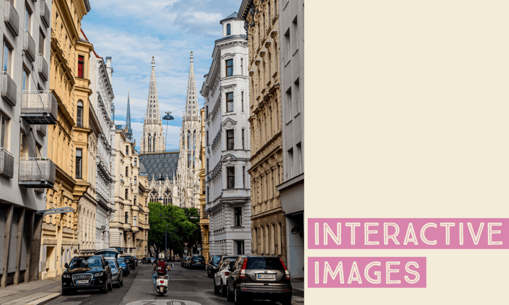
Below is an interactive My Maps I’ve created on google maps. It includes key destinations of places in Vienna that I’d want to visit to gain a better historical understanding of Austria, specifically the Hapsburg Monarchy and the Austrian Empire, as well as some places that seem like fun as well.
What I’d want my students to do is plan their own trip to anywhere in the world using google My Maps, where the destinations they choose to visit would help them gain a historical understanding of the political and social background of a certain city or location. They would be given my My Map of Vienna as an example for how to complete the project, where they’d need to include both a picture and a description of the historical value the place gives to them if they were to visit the place described in their assignment.
Implementing such an assignment would help increase engagement within the class, as students could choose their favorite place or favorite historical event that they’d like to visit. Being able to map out their trip to gain a better historical understanding of a place is a fun alternative to a simple lecture, and students would be channel their creativity and personnel interests to better utilize their historical skills in a fruitful and fun manner.

