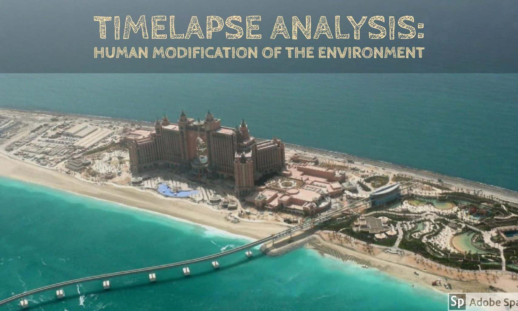
This lesson is designed to be part of a unit on human modification of the environment. In this lesson, students will use Google Earth Timelapse to observe land building in Dubai and Singapore.
Guiding questions:
- What are some reasons governments and urban planners might have for building new land?
- What is the underlying motivation for land building in Dubai and Singapore?
- What are the similarities and differences between Dubai’s and Singapore’s reasons for land building?
First, students will observe the two Google Earth Timelapse images below. Students will use their observations to form hypotheses about the reasons for land building in Dubai and Singapore.
Timelapse Dubai:
Timelapse Singapore:
[embedit snippet=”singapore-timelapse”]
Students will share their hypotheses with the class, then split into reading groups. Each group will be given one of three sources on island building in Dubai.
Island building in Dubai:
The National (UAE) news article
Each reading group will share a summary of their article with the class, being sure to note the source.
Students will split back in to reading groups to read one of three sources on land reclamation in Singapore.
Land reclamation in Singapore:
Singapore National Library article
Each reading group will share a summary of their article with the class, being sure to note the source.
Students will discuss their analysis of the texts, using the guiding questions to revisit their hypotheses. Students will discuss what hypotheses were validated by the readings and come up with collective answers to the guiding questions.
Featured image credit: By Imre Solt , via Wikimedia Commons and Adobe Spark


Great lesson idea with a very motivating opener looking at the Google Earth Timelapse. The readings support the essential question. Nicely done!