Lesson Plan: Draw the World

The lesson I’ve created is made to be an opener to a unit on geography. The activity is meant to be for the 9th graders that I’m working with at my school, however it could be a good opener to a geography lesson for middle schoolers and lower grades in high school.

The essential questions I’d like us to discuss during the class period are: What story do maps tell and How do maps reflect history, politics, and economics?

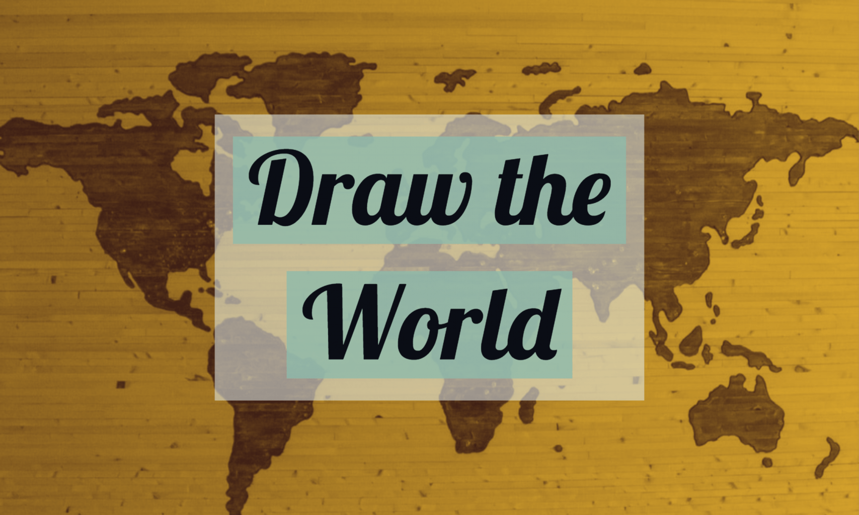
During this lesson, students will be attempting to draw the a map of the world from their memory in pairs at the beginning of class. Following this activity, the students will compare their maps to a contemporary map of the world. In a large group discussion (the entire classroom), the students will question why certain parts of their map are less accurate than others, and why certain parts are very accurate. They will relate these observations to the essential questions. To finish the lesson, students will compare a map created by Ming China in the 14th century, and attempt to get an understanding of what story this map tells about Ming China.

For the specifics of the lesson, I plan to use the first 3 minutes to introduce the students to the lesson of the day with a focus question written on the smart-board : “What stories to maps tell us?”. Students will work together and think-pair-share the question to with the entire classroom. Following the intro, I will use 2 minutes to explain the largest part of the lesson, the “Draw the World” activity, where students will individually draw the world to the best of their ability on a plain white sheet of paper. I will do this activity too. I will give the class 7-9 minutes for this portion, where I will ask if anyone needs additional time at the 7 minute mark. After this portion, I will project a map of the world using the smartboard, and students will look at what parts they had that were accurate, what parts they had that weren’t accurate, and attempt to explain why their maps were drawn the way they were. I will go first, to model what I’m looking for, and explain how the deficiencies and accuracies of my map reflect my own individual history and life story. With the remaining time in class, we will switch over to a map of Ming China, and attempt to discover what story that map tells about China during the period in which the map was created. Both discussions will revolve around the essential questions for the class period.

Timeline:

00:00-03:00 – Focus Question

03:00-05:00 – Directions for the “Draw the World Activity

05:00-13:00 – “Draw the World” Activity

13:00-19:00 – Discussion and debrief of “Draw the World Activity”

19:00-22:00 – Map of Ming China Activity

Source: https://petrosjordan.wordpress.com/tag/da-ming-hun-yi-tu/

1920’s Consumer culture

This lesson is a beginning lesson done at the beginning of the unit to introduce the students to advertising and period of consumerism that started to grow in the 1920’s. It is intended for an 8th grade social studies class.

In the lesson, we will be studying and covering actual examples of advertisements that came from the 1920’s and subsequent time periods. They will explore the archives of adds provided as a resource by Duke University. When looking at advertisements and commercialism in this period, there are a couple of key comprehension questions they will be exploring. These questions include: 1.) How they were sold, literally and figuratively, to the American public.  2.) Whom the advertisements targeted, and 3.) What attributes advertisers deemed most valuable: access to information, to entertainment, or to status? Students will also be exploring a short video that goes into further detail about the 1920’s and this period of consumerism.

To start off the lesson, the students will be asked to open a new, blank word document. The teacher will bring up and show the powerpoint, first bringing up the warm-up questions. The students will take five minutes or so to answer the warm up question in the document. We will then take a couple of minutes to share out loud. Next students will watch the short video clip on consumerism in the 1920’s that the teacher will play on the projector. After the video, the class will discuss quickly any observations from the video. Next, the teacher will share their example of the in class practice/product/example the students will be completing to demonstrate their understanding. After sharing the example, the students will then follow the link pasted below here under resources to the Duke archives resources for advertisements. Students will find and choose an advertisement. Once students have chosen an advertisement, they will follow the example provided by the teacher and answer the following three questions about the ad: 1.) How they were sold, literally and figuratively, to the American public.  2.) Whom the advertisements targeted, and 3.) What attributes advertisers deemed most valuable: access to information, to entertainment, or to status? After about 10 minutes, time permitting, students will show their examples. At the end of class, students will email their completed word document they filled out in class to my email: bernharj22@up.edu

Resources:

https://repository.duke.edu/dc/adaccess

https://idn.duke.edu/ark:/87924/r41834q9p (My Ad Example)

Postcards from the Past

“Greetings from the Past!”

For this activity we will be visiting the website I created for my U.S. History class at Wilson High School.

https://sites.google.com/pps.net/us-history/home

This assignment was designed to build on students’ abilities to perform a close reading of a text. Using a primary source as inspiration, students are free to invent, embellish, and illustrate their interpretations of historical texts. Students were asked to imagine themselves in a specific time and place, along with anything they’d like to describe to family or friends.

Students will need access to the course website to access primary source materials, as well as any notecards, colored pencils, or illustration apps necessary to create a postcard image. Following completion of the assignment, postcards will be displayed for students to view, and to and discuss their interpretations with the class.

Virtual Reality tour of Salem, Massachusetts.

This mini-lesson has a target audience of 8th grade U.S. History students learning about the various settlements in early colonial America. The lesson comes after a previous virtual reality tour of Jamestown, as well as other lessons about Plymouth and Massachusetts Bay. By studying Salem in this tour, students will gain a better understanding of life in a 17th century American settlement along with an introduction to the Salem Witch Trials topic.

The process for this mini-lesson will be a virtual reality tour of Salem, Massachusetts and the completion of a worksheet with questions drawn from information given in the tour. This was not my original plan for a mini-lesson, but it will be the activity I present to the Canby Education Foundation for the $10,000 grant my CT and I applied for. Feedback and practice of this lesson will be extremely helpful in perfecting how I approach the lesson in front of the CEF.

The main resources for this lesson are the worksheet I designed to help student analyze the information they gather throughout the tour, and more importantly the Google Expedition software and Google Virtual Reality headsets. These are not easily obtainable, but very valuable in assisting the learning of location-based Social Studies topics!