
Featured image by Free-Photos from Pixabay
Places are locations having distinctive features that give them meaning and character that differs from other locations. Therefore, places are human creations, and people’s lives are grounded in particular places. We come from a place, we live in a place, and we preserve and exhibit fierce pride over places.”
National Geography Standard 4: Place
Overview
In today’s class we will introduce two mapping tools: Google Earth and Google MyMaps. They are easy platforms for teachers and students to create and share interactive maps that can contain additional multi-media content.
Class will also feature lessons taught by: Madi Higgins- Washington, Bruce MacDonald – Political Positions and Lucy Rothwell
Assignment: There is no assignment from this class.
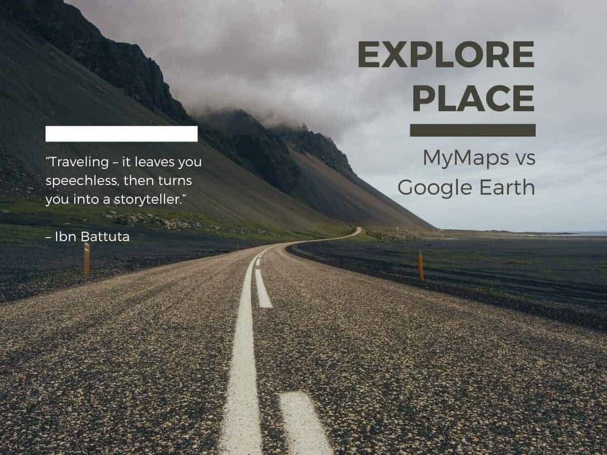
Today’s class will explore interactive images with Google MyMaps and Google Earth. Both apps provide tools for teachers and students to create and share interactive maps that tell a story of place.
Google MyMaps is a great tool for visualizing place with a variety of content and locational tools. You can easily add photos, video, text, routes and shapes. You can collaborate and share your maps via email. It can be easily embedded in WordPress. MyMaps gets saved in your Google Drive account for easy cataloging.
Sample MyMap Projects | MyMaps Tutorials
Google Earth is now a web-based tool that can easily create engaging stories maps that tell a story. With creation tools, you can draw on the map, add your photos and videos, customize your view, and share and collaborate with others. You cannot embed in WordPress. Use a screenshot of you map as a hyperlink from your WordPress post to your map project.
Sample Project: Jane Goodall story
Google Earth Video Tutorials | Google Earth “How To” in text and images